Qinghai Province
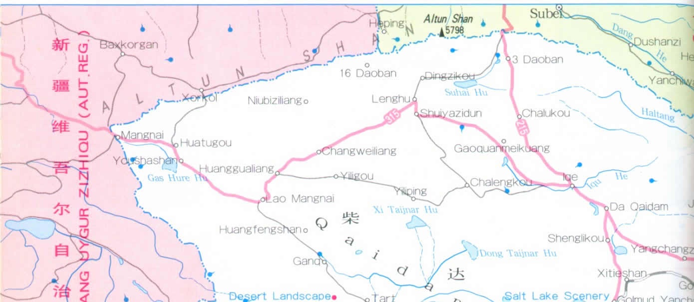
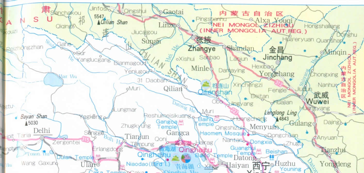
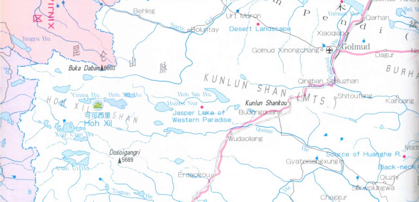
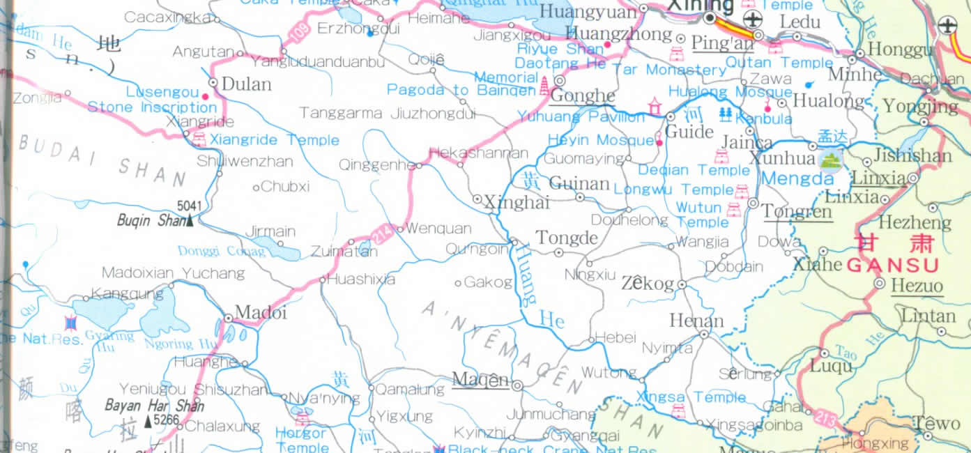
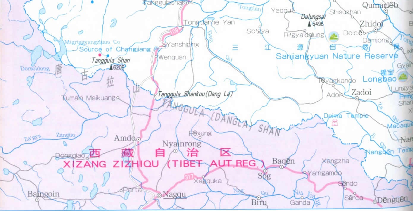
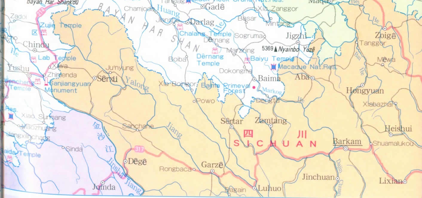
Situated in the northeastern part of the Qinghai-Xizang(Tibet) Plateau in Northwest China, Qinghai Province is known as the “Roof of the World" along, with Tibet Autonomous Region. It borders on Gansu, Sichuan, Tibet Autonomous Region and Xinjiang Uygur Autonomous Region. Area: 720000 km2.
Most of the province consists of mountains and high plateaus, with an average elevation of over 3000 metres above sea level. Between the high mountains are broad basins, rolling hilly areas and extensive flat tableland.
The province has a typical continental climate, characterized by the dry windy and cold weather. The annual mean temperature is -5°- 8°C and the annual precipitation is 250-550 mm.
It possesses famous mountains and great rivers. The famous rivers such as the Changjiang(Yangtze) River and the Huanghe River all rise here. The beautiful glaciers and rolling lofty mountains offer the ideal places for mountain-climbing and scientific investigations. Qinghai Lake, the largest inland salt lake in China, is a national major famous scenic area. There stands a Bird Island in the northwestern part of the lake, where over 100000 various birds are dwelling from May to autumn every year, presenting a splendid sight. Other famous historic sites include Tar Monastery in Huangzhong, Grand Mosque in Xining, etc.
The specialities mainly include marmot skin, carpet, lambskin, and handicraft articles such as silver ware, ornaments and Zang-style knives.
|